An aerial view of Jerusalem taken from the north in the 1930s prominently depicts al-Haram al-Sharif, or al-Aqsa Mosque compound, along with the Dome of the Rock at the center and al-Aqsa Mosque behind it. Surrounding al-Haram al-Sharif is the Old City of Jerusalem, characterized by dense urban structures and numerous historical sites. To the right and bottom, the neighborhoods of the Old City within the wall are seen. In the distance, the village of Silwan, outside the Old City walls and Jerusalem of that time as well, is also visible. Silwan is built on the southern slope of the Mount of Olives just south of the Old City walls.
Photo
Aerial View of Jerusalem
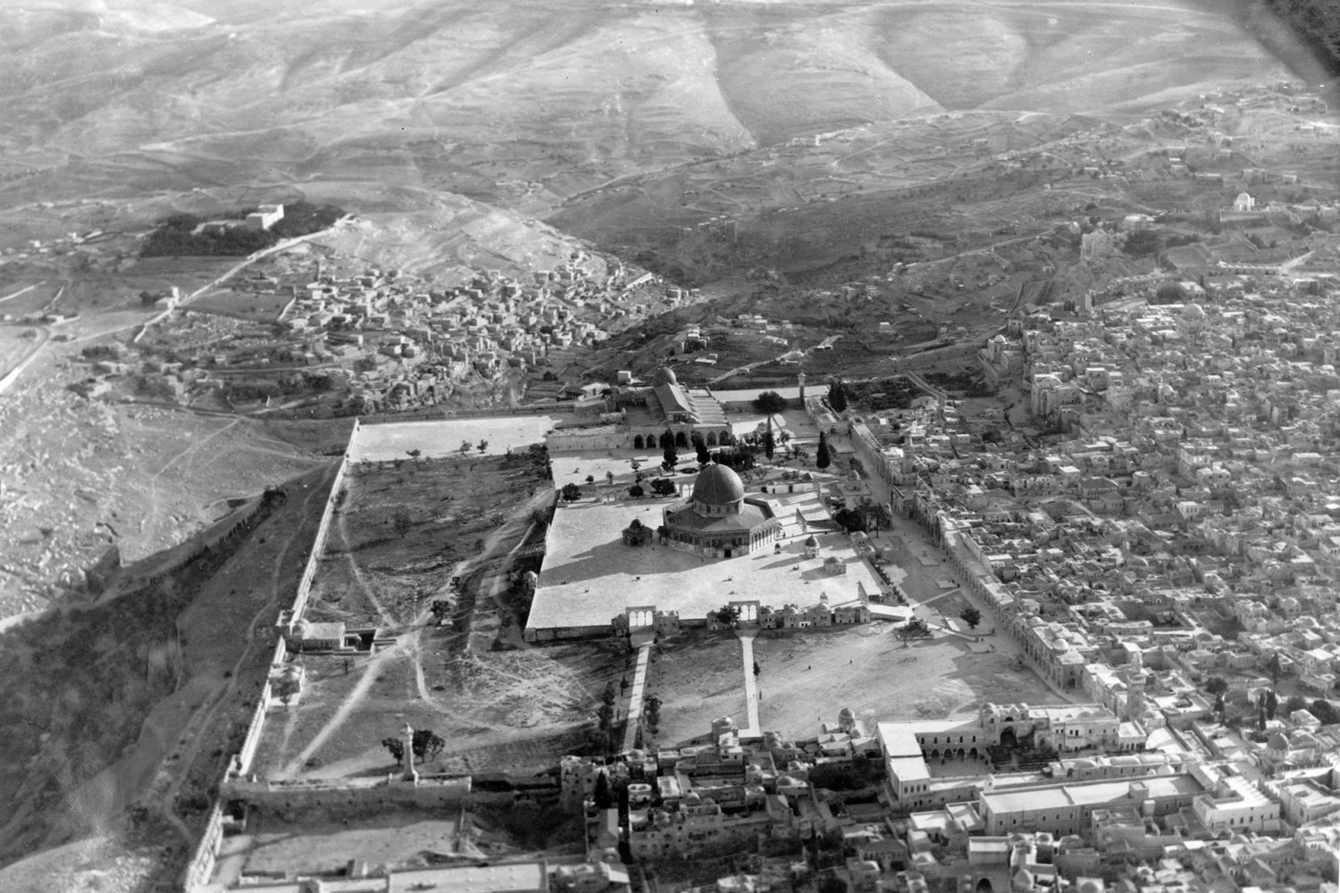
An aerial view of the Old City of Jerusalem that shows the Dome of the Rock and the Old City neighborhoods around it, taken from the north in the 1930s. The photograph is from the G. Eric and Edith Matson Photograph Collection.
Credit:
Library of Congress, Prints and Photographs Division [LC-USZ62-137060]